Google Maps typically uses about 3–5 MB of mobile data per hour for basic navigation, according to Eskimo’s Google Maps data-use estimates. Treat that as a planning guide, not a guaranteed rate: browsing business photos, loading satellite imagery, and downloading maps can use substantially more. The most useful figure is the usage your own phone records during a typical trip.
Start with what you mean by “data”
Google Maps involves several different kinds of data. Confusing them can make its mobile usage sound much larger than it actually is.
Mobile data is information transferred through your cellular connection. This is what matters when you are managing a limited allowance or using your phone abroad.
Wi-Fi data is information transferred through a wireless network. Downloading a map over Wi-Fi still transfers data, but it does not normally consume your mobile allowance.
Phone storage is the space occupied by the app, its cache, and downloaded maps. A large offline map taking up storage does not mean Google Maps is continuously transferring that amount over your mobile connection.
Google’s mapping database is a separate issue. Google maintains a broad collection of geographic information, imagery, and business records. Harvard Business School’s discussion of how Google Maps gathers information describes inputs such as satellite imagery, municipal maps, surveys, and Street View. Your phone does not download that entire collection when you ask for directions.
For most people asking this question, the relevant measure is Google Maps’ cellular usage—not the size of Google’s database or the app’s storage footprint.
Measure your actual usage before planning around averages
Published estimates are useful for an initial budget. Your device’s usage counter is better for understanding your particular mix of navigation, searches, and browsing.
Check the cellular counter
On an iPhone, look in Settings under Cellular or Mobile Data, then find Google Maps in the app list. On Android, look for an app data-usage screen under Network, Connections, or the Google Maps app information page. Names and menu locations vary by device and software version.
Check the reporting period before interpreting the total. A counter covering a long stretch of previous use cannot tell you what happened on your latest journey.
For a practical test:
- Record Google Maps’ cellular usage before leaving.
- Use the app as you normally would on a representative journey.
- Check the counter again afterward.
- Subtract the starting reading from the ending reading.
- Note whether you used satellite imagery, browsed photos, or changed destinations.
Repeat the check for a different kind of journey if your routine varies. A familiar commute and a day visiting unfamiliar businesses may involve very different app activity.
Keep the test focused
If part of your journey uses Wi-Fi, the cellular counter will not represent all the data Google Maps transferred. That is fine if you only want to understand your mobile allowance, but it matters when comparing results.
Also distinguish app-level usage from whole-phone usage. Music, video calls, email attachments, and other apps can consume data during the same trip. A rise in your phone’s total usage is not necessarily caused by navigation.
Which Google Maps activities use the most data?
The important distinction is between getting directions and exploring visual content. Standard navigation is relatively light; imagery and repeated browsing can change the picture.
The following figures come from Eskimo’s activity-by-activity Google Maps estimates. They are approximate figures from a travel provider, rather than a controlled benchmark for every device and route.
| Activity | Reported data use | How to interpret it |
|---|---|---|
| Basic navigation with the standard map | About 3–5 MB per hour | A useful starting estimate for ordinary directions |
| Satellite View and Street View | About 20–100 MB or more per hour | Image-heavy exploration can use much more than standard navigation |
| Searching places, reviews, and photos | About 2–5 MB per 10 minutes | Browsing at stops adds to the navigation total |
| Downloading offline maps | About 100–500 MB or more per download | Download size depends on the selected area; use Wi-Fi where possible |
These categories are not interchangeable. A drive that includes searching for restaurants and inspecting their photos is not purely a basic-navigation session.
The same travel guide identifies rerouting, traffic updates, and frequent zooming as factors that can increase usage. In practice, focus on your pattern of use rather than trying to predict every refresh: staying on a planned route with the standard map is different from repeatedly exploring unfamiliar neighborhoods.
Use offline maps without assuming everything works offline
An offline map can reduce dependence on a cellular connection, but it is not a complete offline copy of every Google Maps feature.
Eskimo’s explanation of offline Google Maps notes that a downloaded area can support navigation without mobile data, while live traffic updates and business reviews are unavailable offline. That distinction matters if you need current road conditions or want to research a business during your trip.
Prepare the area you actually need
While connected to Wi-Fi, open Google Maps and find the offline-map option through your profile menu or a place search. Select an area covering your destination and the roads you expect to use, then complete the download before leaving.
Avoid selecting a much wider region than you need. Larger areas take more storage and require a larger initial transfer. Equally, do not make the boundary so narrow that a likely detour takes you outside it.
Check that the download is available on the device you will carry. Finding a destination while online is not the same as saving its surrounding map for offline use.
Test before relying on it
Temporarily disconnect from the internet and check whether the downloaded area supports the route you need. Pay attention to the travel mode and information you rely on; do not assume every online function remains available.
For a work visit, keep the destination address and essential contact details accessible separately. This gives you a fallback if a listing, review, or website cannot load when you arrive.
Reduce usage without making navigation harder
The best changes target unnecessary downloads rather than disabling connectivity indiscriminately.
Stay with the standard map. Use satellite imagery or Street View when they answer a specific question, such as identifying an entrance. Avoid leaving an image-heavy view open simply out of habit.
Research stops before departure. Read reviews, inspect photos, and compare locations while connected to Wi-Fi. Once traveling, use Maps mainly for directions and essential changes.
Download offline areas over Wi-Fi. Check the connection before starting a large download, especially if your phone can switch to cellular when Wi-Fi is weak.
Review background-data settings carefully. Device settings may let you restrict background activity. Test the effect before an important journey rather than changing unfamiliar settings immediately before you need navigation.
Separate navigation from other travel activity. Opening a business website or streaming entertainment involves additional data use. Manage those activities alongside Maps rather than expecting a navigation estimate to cover the entire trip.
For field teams, separate business research from route planning
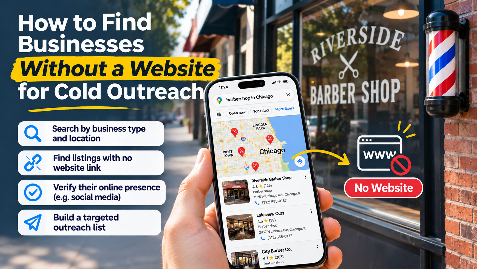
Sales representatives, agency staff, and other field workers may use Google Maps both to find businesses and to reach them. Those are different tasks. Repeatedly opening listings, browsing photos, and checking websites adds research activity to what otherwise looks like a navigation session.
Build a visit list before leaving. Keep business names, addresses, phone numbers, and appointment notes available in a format your team can access on the road. Then use Maps for the journey rather than rebuilding the list between stops.
ScrapePlaces can support that preparation by collecting matching local business records after a user chooses a business type and place and sees an estimate. Lists can be filtered, combined, and exported; availability of details depends on what businesses make public. The business data overview explains the records collected, while how it works describes the process from search to export. Preparing a list does not replace navigation or guarantee lower data usage.
A departure checklist for limited connectivity
Before a trip where mobile data or coverage is a concern, check the following:
- Usage baseline: You know where your phone reports Google Maps’ cellular consumption.
- Map coverage: The downloaded area includes your destination and likely approach roads.
- Download status: The offline map finished downloading over Wi-Fi.
- Map view: Standard view is selected unless imagery is necessary.
- Essential details: Addresses and contact information are accessible without reopening online listings.
- Offline expectations: You have tested the route and know which live information will be unavailable.
- Other apps: Your data budget accounts for communication and browsing as well as Maps.
If usage still seems unexpectedly high, compare a navigation-only journey with one that includes business searches and photo browsing. That will help you identify whether directions, visual content, or your broader travel workflow is responsible.